Rupal Face Trek
Rupal Base Camp, Astore District, Gilgit-Baltistan, Pakistan
0/5
0% of guests recommend
Duration
12 Days
Group Size
16 persons
Overview
About the Rupal Face Trek
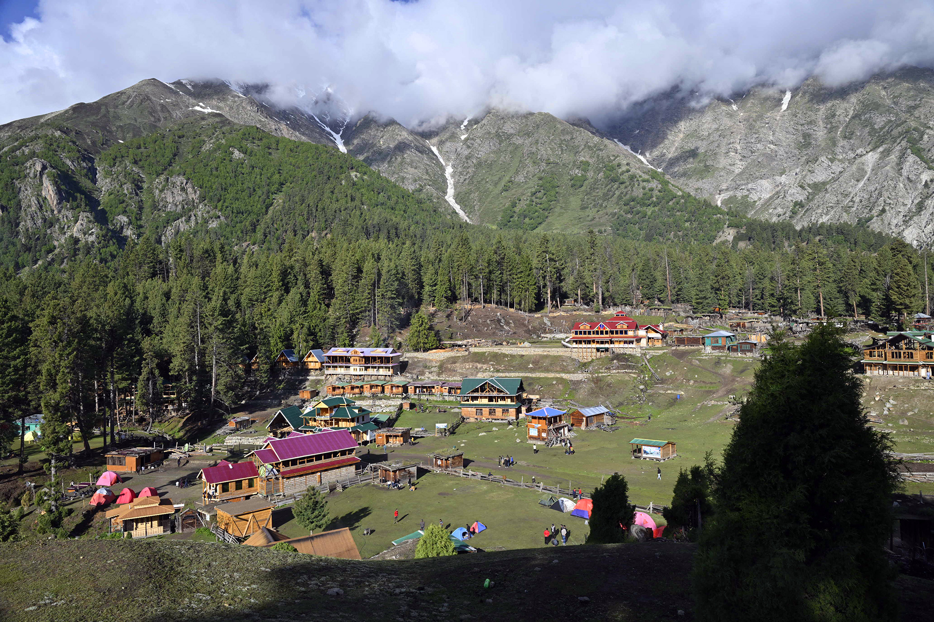
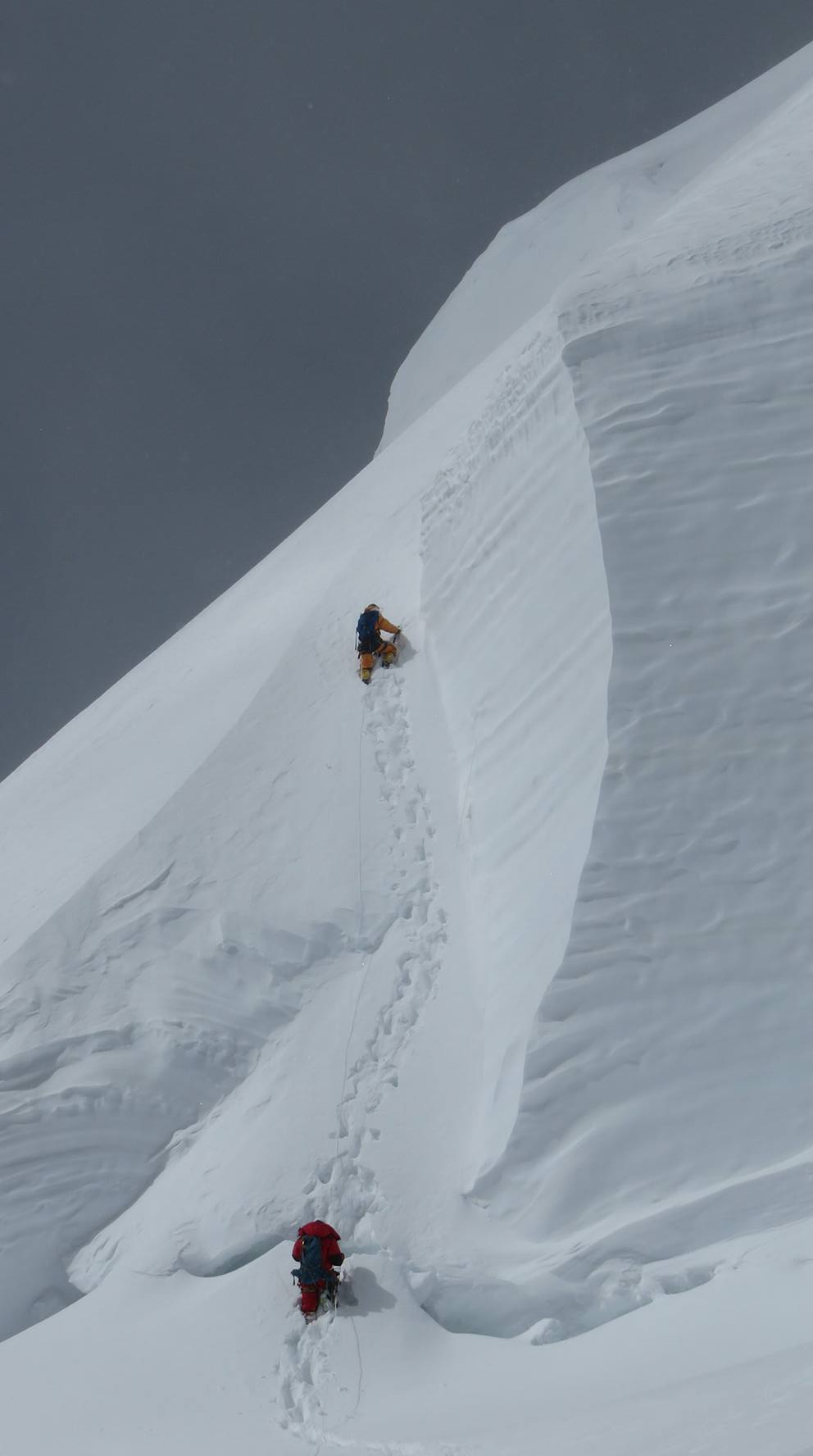
The Rupal Face of Nanga Parbat is the tallest mountain face on Earth, rising 4,600 metres from the Rupal Valley floor to the 8,126-metre summit in one continuous vertical sweep. Standing below this face and comprehending its scale is an experience that rewires the visual system: no photograph, no number, and no verbal description adequately prepares the eye for the actual view from the Toshain meadows below the face. The Rupal Face Trek is a 12-day journey from Islamabad through the Astore Valley to the Rupal Valley and the high camp areas below the face, including an optional extension to the Mazeno Base Camp area on the western ridge of Nanga Parbat.
The trek requires no technical equipment and is suitable for fit non-technical trekkers who can handle multi-day walking at altitudes reaching 4,200 metres. The approach through the Astore Valley is itself one of the finest mountain valley journeys in Pakistan.
Route Overview
From Islamabad the route drives or flies to Gilgit and then drives east through the Astore Valley to Tarshing village at 2,970 metres, the trekking base for the Rupal Face approach. From Tarshing the trail climbs through juniper scrub and alpine meadows over 2 to 3 days to the Toshain meadow area at 3,800 to 4,100 metres, where the full Rupal Face becomes visible in its complete vertical extent. The optional Mazeno extension pushes west from Toshain to Mazeno Base Camp at approximately 4,200 metres for views of the northwest ridge and the Mazeno Wall.
The Face in Scale
The Rupal Face is 4,600 metres tall. For comparison, this is greater than the total height of Mont Blanc above sea level. The face rises from the Rupal Glacier at approximately 3,500 metres to the summit at 8,126 metres with no significant ledges or terraces to interrupt the vertical sweep. The Schell Route, the standard modern climbing route on the face, follows a line up the right side of the face and is visible from Toshain as a series of ice runnels and rock buttresses. Early morning light on the face, when the sun rises and hits the upper ice walls before the valley floor, is a photographer's event of the first order.
Best Season
June through September. July and August are the most reliable months for clear face views. June offers late snow on the meadows for atmospheric foreground. September provides exceptional clarity and comfortable walking temperatures.
Difficulty
Moderate to strenuous. Daily walking of 4 to 7 hours on mountain paths with significant altitude gain on the Toshain approach days. The maximum altitude of 4,100 to 4,200 metres requires proper acclimatization pacing. No technical equipment needed.
Why Choose This Trek
The Rupal Face Trek offers the most concentrated mountain face spectacle of any non-technical trek in Pakistan. One face, one valley, one overwhelming view that is impossible to equal anywhere in the trekking world. All transport from Islamabad or Gilgit, guide, cook, accommodation in village guesthouses and mountain camps, and meals are included.
Customized/Private Groups PricingDiscount will be automatically applied during the booking process if the number of guests meets the criteria specified in table below.(currently discounts are applicable to private tours only)
| Solo Price | 2 to 4 Person | 5 to 8 Person | 9 to 20 Person |
|---|---|---|---|
| $3,000 | $2,000 | $1,600 | $1,500 |
Itinerary
Day 1: Islamabad to Gilgit
Altitude: 1,500m | Road 18 hours or flight 1 hour
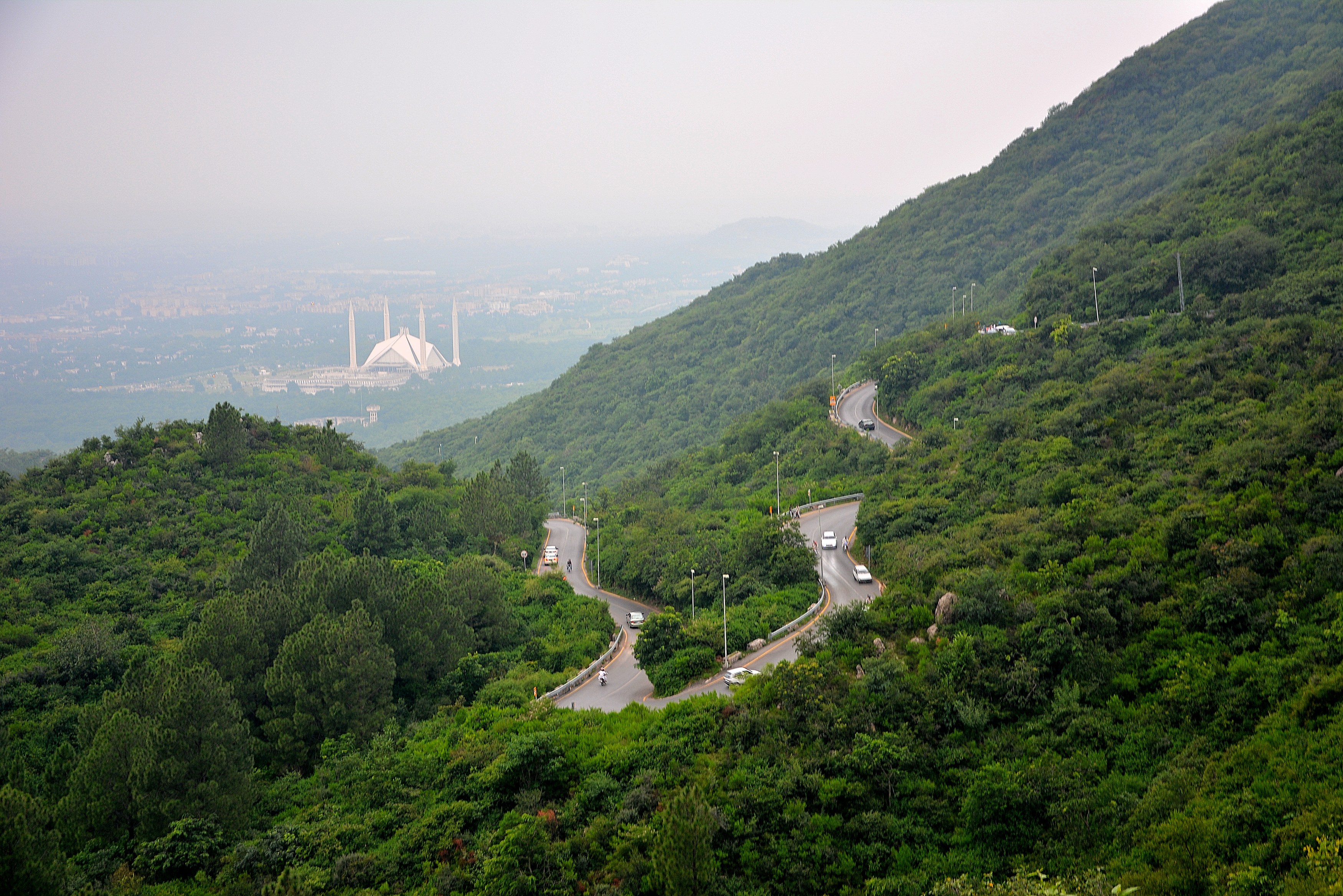
Fly 45 minutes from Islamabad to Gilgit. Flying saves 18 hours of road.
Day 2: Gilgit to Astore
Altitude: 2,600m | Drive 3 hours south from KKH junction
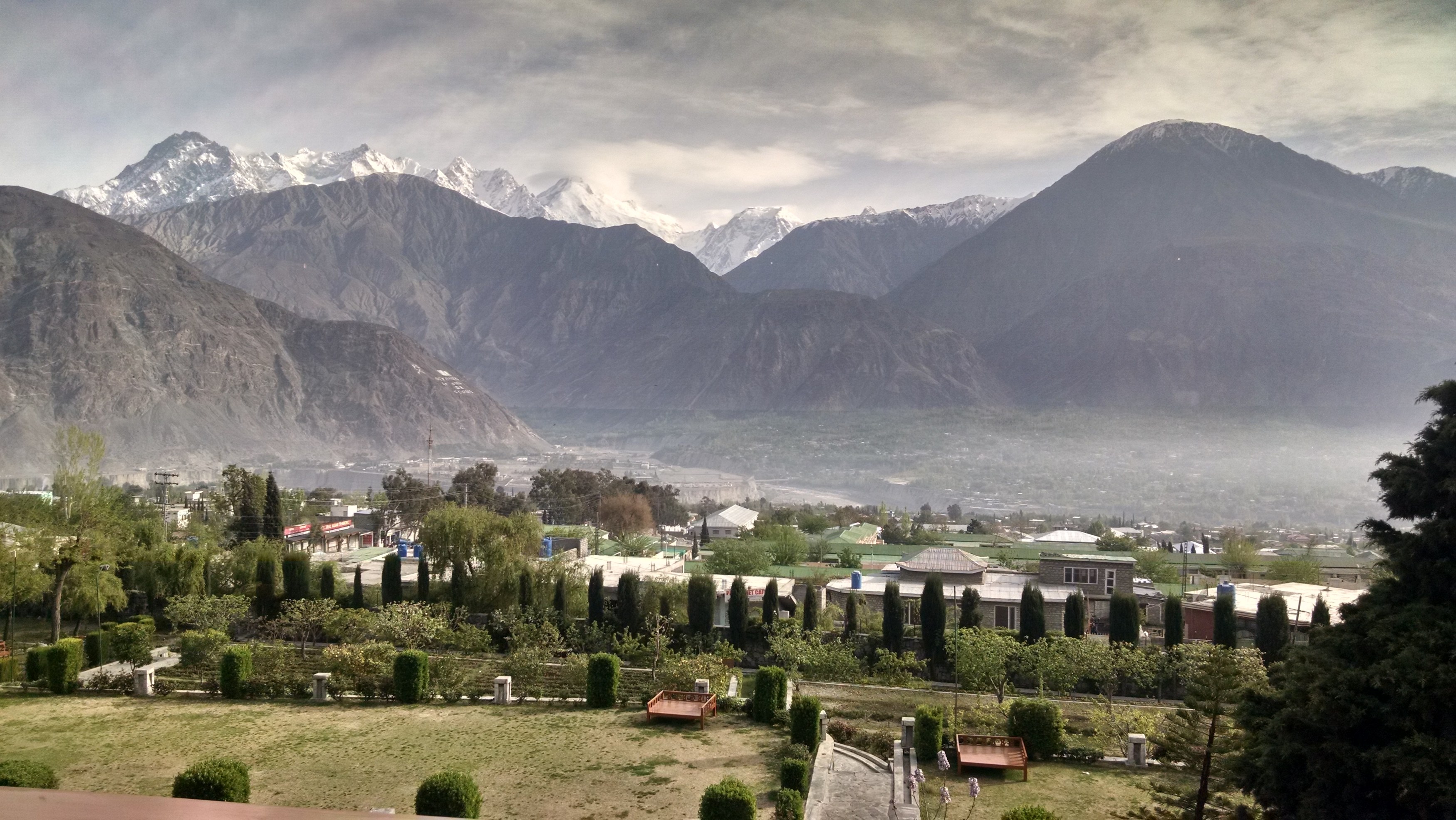
The road to Astore from Gilgit is 2-3 hours on a reasonable road that becomes rougher in the Astore valley section.
Day 3: Astore to Tarashing
Altitude: 3,050m | Jeep 2 hours into Rupal Valley
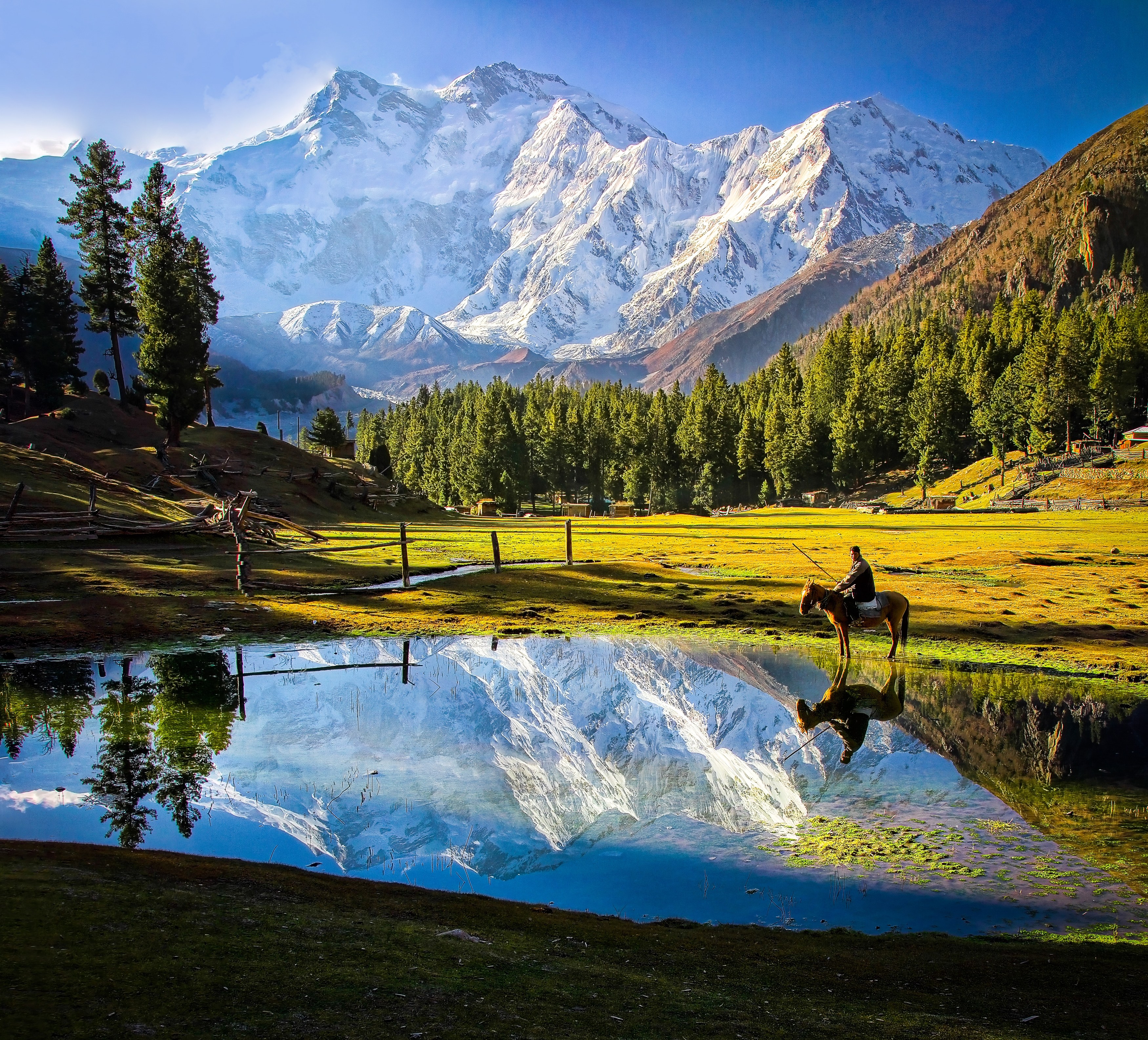
Tarashing is the last village before the mountain. The road from Astore crosses several stream fords and takes 3-5 hours depending on road condition.
Day 4: Tarashing to Shaigiri Meadow (Lower)
Altitude: 3,500m | Walk 5 hours
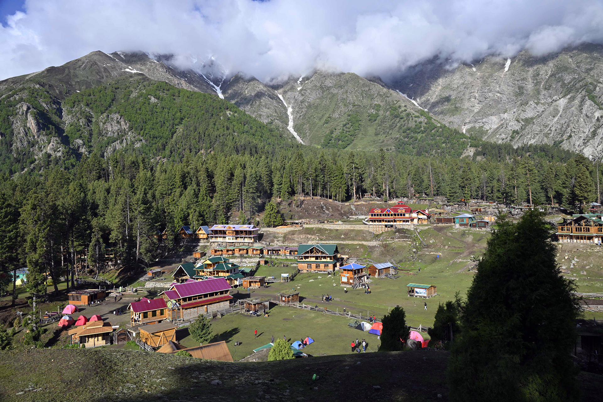
The trail climbs steeply from Tarashing through the moraine approach. Lower Shaigiri Meadow at around 3,400m is the first good camp with the first views of the upper face.
Day 5: Lower Shaigiri to Rupal Base Camp
Altitude: 3,962m | Walk 4 hours
The final push to base camp at 3,962m. The Rupal Face is visible from the last part of the approach and the scale is difficult to process from a distance. Base camp is on flat moraine below the face.
Day 6: Rest Day at Rupal Base Camp
Altitude: 3,962m | Exploration and photography
Full day at base camp. Explore the moraine below the face. Walk toward the glacier snout. Photograph from different positions. The morning light hits the face directly before 10 a.m. after that clouds tend to build.
Day 7: Rupal Base Camp to Tarashing
Altitude: 3,050m | Walk 7 hours descending
Descend via the same route to Tarashing.
Days 8-9: Tarashing to Astore, Rest
Altitude: 2,600m | Jeep drive, Astore valley exploration
Drive back to Astore. Rest day in the valley.
Days 10-11: Astore to Gilgit, Return
Altitude: 1,500m | Drive to Gilgit, overnight
Drive to Gilgit.
Day 12: Gilgit to Islamabad
Trek ends | Flight or road
Optional rest or activities in Gilgit.
Highlights
- Rupal Base Camp at 3,962m below the 4,600-metre Rupal Face, the highest mountain wall in the world, from a position that expedition teams use before attempting the face.
- Walk the Astore Valley approach via Tarashing, a quiet alternative to the more-visited Rakhiot (Fairy Meadows) approach on the north side of Nanga Parbat.
- Two nights at Shaigiri Meadow below the face with the full height of the Rupal Face visible from multiple angles in the morning light.
- Combine with Fairy Meadows for a view of both faces of Nanga Parbat, the gentler north and the vertical south, on the same trip with a road transit between.
Included/Excluded
All ground transport: Islamabad to Astore and return by private vehicle
Jeep hire from Astore to Tarashing village and return
All accommodation: hotel in Gilgit or Astore, guesthouse in Tarashing, camping at BC
All meals from Day 1 dinner through Day 12 breakfast
Licensed guide with Astore Valley and Rupal Face route knowledge
Porter team for all load carries from Tarashing to BC and return
All camping equipment: tents, sleeping mats, kitchen, cook
Astore-Nanga Parbat conservation area entry fee
Emergency first aid kit
International flights and Pakistan visa
Travel insurance covering trekking to 4,000 metres
Personal sleeping bag (rated to -15C), trekking boots, and layers
Personal snacks beyond included meals
Guide, cook, and porter gratuities
Helicopter or medical evacuation costs
Things To know
The Rupal Face in Climbing History
The Rupal Face was first climbed in 1970 by Reinhold Messner and his brother Gunther Messner during the Herrligkoffer Expedition. The summit was reached via the Rupal Face but the descent went down the Diamir Face on the opposite side of the mountain, a traverse that became one of the most debated events in Himalayan climbing history. Gunther Messner disappeared during the Diamir descent and his remains were found on the glacier 35 years later. The Rupal Face was not climbed again for over a decade after this first ascent.
Gear List
For the Rupal Face Trek: sleeping bag rated to -15C for the Shaigiri Meadow nights (cold even in August), waterproof trekking boots, insulated jacket, waterproof shell, sun hat and SPF 50+ sunscreen for the open meadow exposure, trekking poles, and a daypack for the base camp exploration days. No technical gear required.
Astore Valley and Shina Culture
The Astore Valley is home to a predominantly Shia Muslim Shina-speaking population. The Shina language is distinct from the Burushaski spoken in Hunza and the Balti Tibetan dialect of Skardu. Astore town has basic guesthouses, a small bazaar, and mobile network coverage. The villages above Astore retain traditional stone and timber construction and subsistence agriculture based on wheat and livestock herding on summer pastures above 3,000m.
FAQs
How different is the Rupal Face from the Fairy Meadows side of Nanga Parbat?
The Fairy Meadows view shows the gentler north side used by most expedition routes. The Rupal Face is the opposite wall: 4,600m of face that has been climbed very rarely. From Fairy Meadows you see the slope profile. From Rupal Base Camp you look at what most mountaineers consider the more impressive and more vertical view. Both are worth seeing if you have the time.
Is the Astore road safe and passable?
The Gilgit-Astore road is paved and in reasonable condition. The Astore-Tarashing section is rough jeep track. After heavy rain or spring snowmelt the Tarashing road can be temporarily blocked by stream crossings. We check conditions before departure and arrange appropriate 4x4 vehicles. Summer (June-September) is the reliable season.
Can I combine the Rupal Face Trek with Fairy Meadows?
Yes. The two sides of Nanga Parbat are separated by a road journey of about 6-8 hours via Astore and Chilas. Adding Fairy Meadows to the Rupal Face Trek requires an extra 3-4 days. We can build a 15-day itinerary covering both approaches.
What expedition teams use Rupal Base Camp?
The Rupal Face sees very few attempts per year, typically 1-3 teams in a season. The face has multiple route variations including the Schell Route and the Messner Route from 1970. Teams that attempt it are high-level alpinists. As a trekker you share the base camp with these teams during their acclimatization periods.
How much of the Rupal Face is visible from base camp?
The full face from summit to glacier is visible from base camp on clear days. The 4,600m vertical profile is uninterrupted. This is the largest single view of continuous mountain face available from any base camp in the range. Clouds often obscure the upper section by mid-morning, so early starts for photography matter.
Tour Location
Rupal Base Camp, Astore District, Gilgit-Baltistan, Pakistan
Reviews
0/5
Not Rated
Based on
0 review
Excellent
0
Very Good
0
Average
0
Poor
0
Terrible
0
No Review
14%
from
$1,700
$1,450
from
$1,700
$1,450